
 Tweet
Tweet
I have been reading about the Europa Regina map-like depiction of the European continent as a queen and it says it is broken into colored sectors for national zones
I am seeing frequent alterations of national zones:

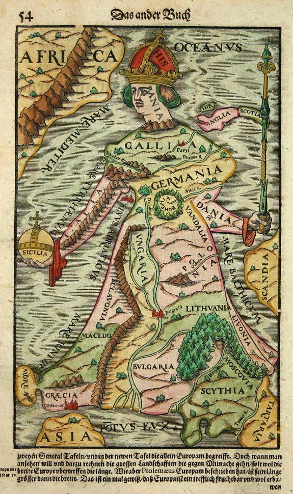
Here is 'Macedo' grouped with Sclavonia.
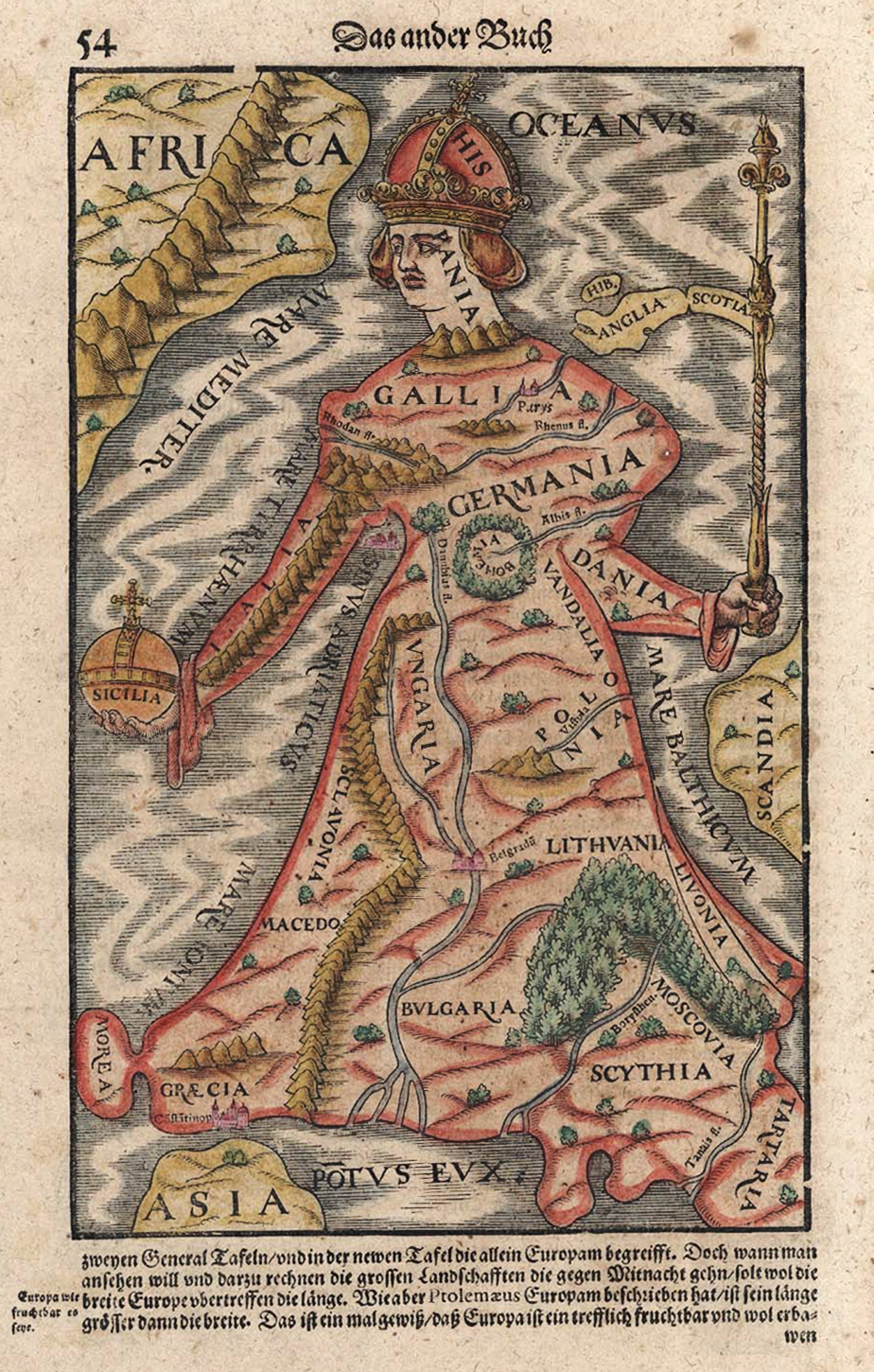
Here is 'Macedo' independent of Sclavonia.
Here is a hybrid looking variant.
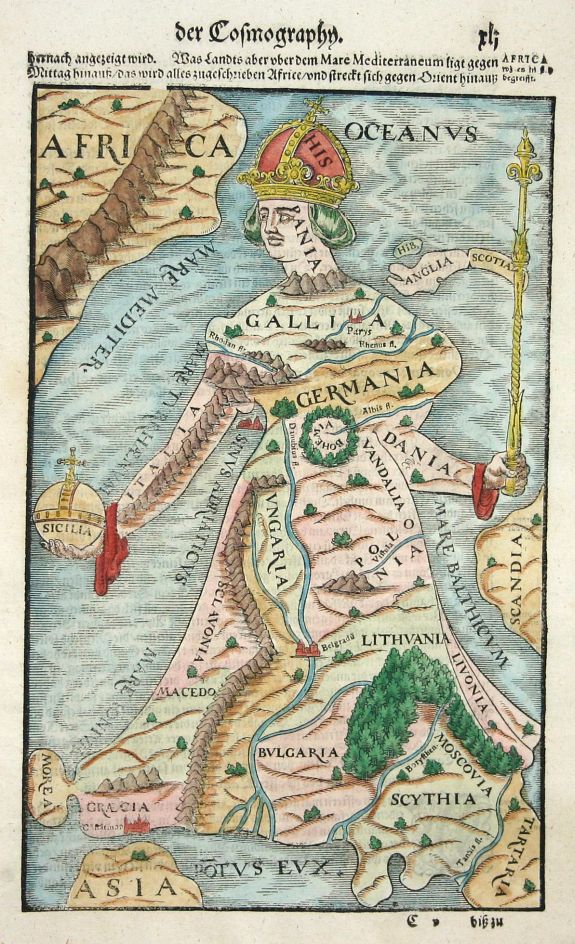
Here is the one they present on Wikipedia with no national zone depictions.
I am sure Europe Regina has been brought up before but I cannot find it manually on the forum. I want insight on what this means and maybe answers to why these national zones keep changing. I can see one thing for sure that 'Macedo' is independent of Grecia, always.
Sources with more information on them:

http://www.swaen.com/antique-map-of.php?id=8568

I am seeing frequent alterations of national zones:
Here is 'Macedo' grouped with Sclavonia.
Here is 'Macedo' independent of Sclavonia.
Here is a hybrid looking variant.
Here is the one they present on Wikipedia with no national zone depictions.
I am sure Europe Regina has been brought up before but I cannot find it manually on the forum. I want insight on what this means and maybe answers to why these national zones keep changing. I can see one thing for sure that 'Macedo' is independent of Grecia, always.
Sources with more information on them:

http://www.swaen.com/antique-map-of.php?id=8568


Comment